|
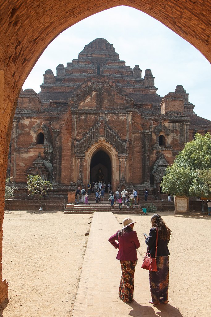 |
| 21-Dahmmayan Gyi Phaya | |
| Latitude: N 21°9'46,25" | Longitude: E 94°52'22,64" | Altitude: 67 metres | Location: Myinkapa | State/Province: Mandalay | Country: Myanmar | Copyright: Ron Harkink | See map | |
| Total images: 39 | Help | |
|
|
|
| 21-Dahmmayan Gyi Phaya | |
| Latitude: N 21°9'46,25" | Longitude: E 94°52'22,64" | Altitude: 67 metres | Location: Myinkapa | State/Province: Mandalay | Country: Myanmar | Copyright: Ron Harkink | See map | |
| Total images: 39 | Help | |